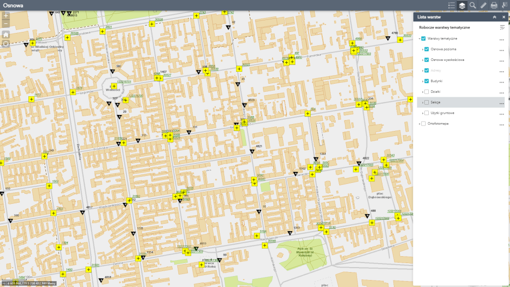
The map includes layers: with horizontal and altitude matrix, sections of the “ŁAM” and PUWG2000 system, and land use. Clicking on a matrix point displays additional information.
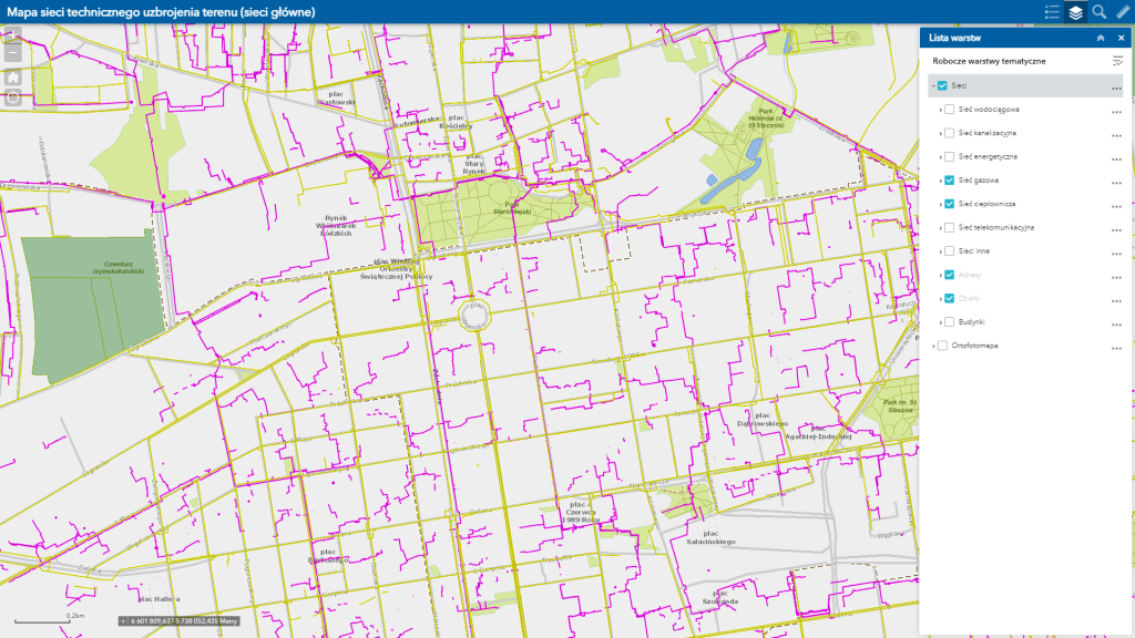
The map shows the main networks of technical utilities (mains: water, sewage, gas, heat, power, telecommunications) in the city.
OGC - Open Geospatial Consortium
WMS (Web Map Service) is an international standard web-based service for creating and sharing maps, which was created by OGC. In order to see maps, the user connects to the WMS server using a special program – the WMS client. The client downloads metadata from the server, which includes a list of available layers, supported formats, coordinate systems, etc. The user selects the layers of interest, and the program sends a request to the server for a ready-made map slice of the specified dimensions and location.
WMTS (Web Map Tile Service) is an international standard for sharing spatial data in the form of raster predefined map fragments, so-called tiles. The use of such a solution speeds up the service’s response to a user’s request for a map fragment because a pre-prepared graphic is returned, as opposed to the WMS service, which generates a graphic file each time such a request is received.
WFS (Web Feature Service) is a service that provides geographic data stored in a vector model. The standard for data exchange within the WFS service is the GML format. The client (user application) downloads not the image (raster), but the source spatial data along with a full record of the geometry of geographic objects and their attributes. This makes it possible to perform spatial analysis and data processing.
WMS/WMTS, WFS services currently published by the Łódź Geodesy Center:
-
-
WMS service presenting the layers of the numerical map: city boundary, land use boundaries, land use designation, class boundaries, class designation, precinct boundaries, precinct names, squares, street axes, street names, registered parcels, parcel numbers, buildings, addresses and auxiliary units.
https://mapa.lodz.pl/OGC/LODZ/
- WMS service containing an orthophoto with a resolution of 0.05m (April 2021 raid).
https://mapa.lodz.pl/3/services/OGC/Ortofotomapa/MapServer/WmsServer?
- WMTS service including orthophotos with 0.05m resolution (raid April 2021).
https://mapa.lodz.pl/3/rest/services/OGC/Ortofotomapa/MapServer/WMTS?
- WMS service containing all orthophotos available at the Lodz Geodesy Center.
https://mapa.lodz.pl/3/services/OGC/ortofotomapy/MapServer/WMSServer?
- WFS service containing address points.
https://mapa.lodz.pl/OGC/ADRESY
- WMS service showing aggregated to 20 categories forms of ownership and possession of registered land plots in the City of Lodz. The service shows the current status as of the day before the moment of its viewing. The legal basis for making the service available is Art. 4 (1) (1) and Art. 6 (1) (6) (a and c) of the Law. 6 letters a and c of the Act of September 6, 2001 on Access to Public Information (Journal of Laws 2001 No. 112 item 1198, as amended).
Due to the large volume of data and readability, ownership information is available for scales of 1: 20,000 and larger.https://mapa.lodz.pl/3/services/OGC/wlasnosc/MapServer/WmsServer?
- WFS service including: registered plots (geometry and identifier), buildings (geometry, identifier and type according to the Classification of Fixed Assets).
Legal basis – Article 15zzzia of the Act of March 2, 2020 on special solutions related to the prevention, prevention and combating of COVID-19, other infectious diseases and emergencies caused by them, amended by the Act of June 19, 2020 on interest subsidies for bank loans granted to entrepreneurs affected by COVID-19 and on simplified proceedings for approval of the arrangement in connection with the occurrence of COVID-19. (Journal of Laws 2020, item 1086)https://mapa.lodz.pl/OGC/LODZ/ - WMS/WFS service containing the Database of Detailed Geodetic Surveys (BDSOG).
https://mapa.lodz.pl/OGC/BDSOG/
-
WMS service presenting the layers of the numerical map: city boundary, land use boundaries, land use designation, class boundaries, class designation, precinct boundaries, precinct names, squares, street axes, street names, registered parcels, parcel numbers, buildings, addresses and auxiliary units.


