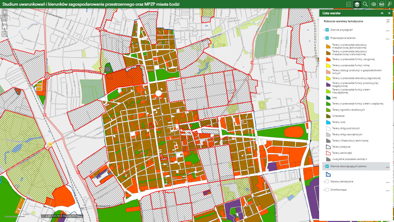
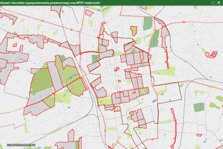
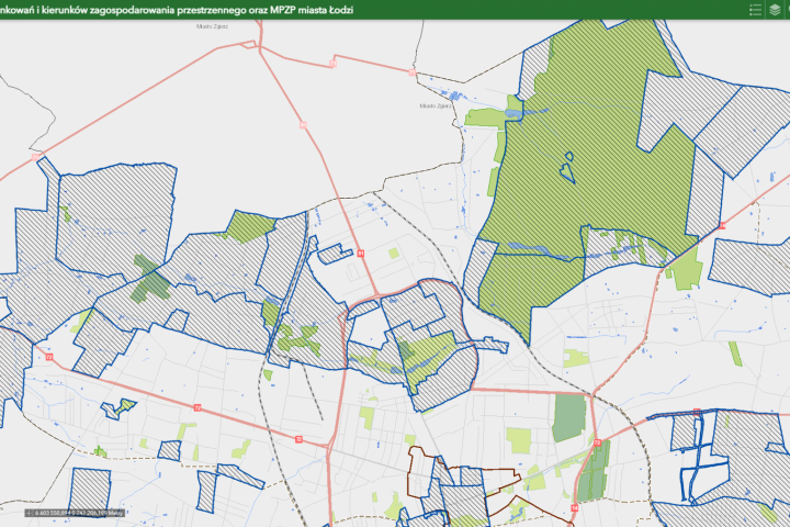
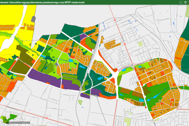
The map, made with the cooperation of the City Urban Planning Studio in Łódź, shows the main boards of the study, as well as the areas of accession to the preparation of the local zoning plan and the areas of plans in force.
Clicking on a highlighted area displays additional information, including the content of the City Council resolution and the content and drawing of the plan. NOTE: Texts of resolutions, drawings of the study and plans, shown on the map of the Łódź Geodesy Center and made available by the City Urban Planning Studio, may be used for illustrative purposes only. For more information, please contact the City Urban Planning Studio and the Department of Urban Planning and Architecture of the City of Lodz, 104 Piotrkowska Street.
Land use studies and plans


