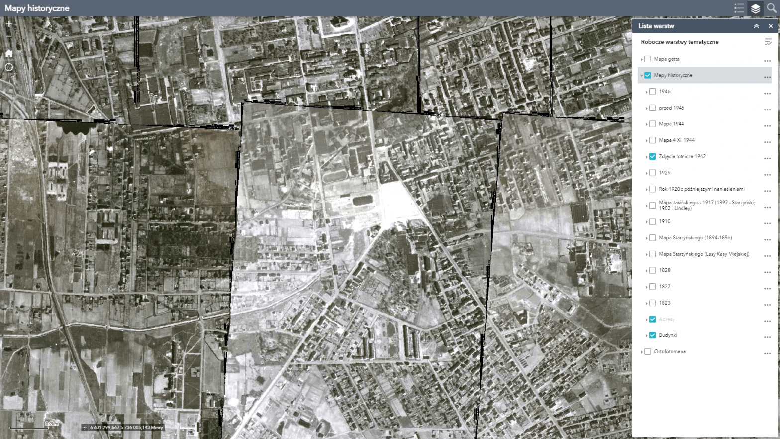
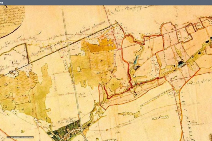
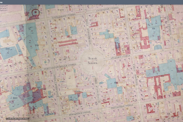
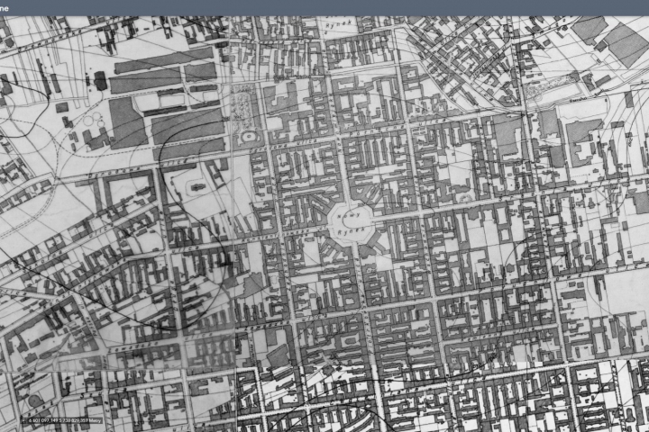
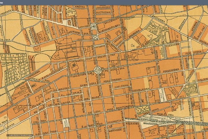
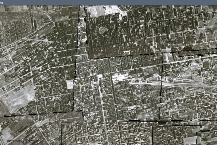
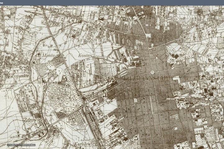
Maps of Lodz from 1823, 1827, 1828, 1910, 1917 (Jasinski), 1929, Litzmannstadt Ghetto 1940-1944, pre-1945, 1946, 1894-1896 (Starzynski) inserted as background of current city map. Published thanks to the cooperation with the State Archives in Lodz.
“Plan of the city of Lodz” from 1945 has been added, which actually shows the state from the mid-1920s with later additions.
The map also includes aerial photographs taken in 1942. The photos cover much of the city within its then boundaries.
Photographs published with permission from wwii-photos-maps.com/.

