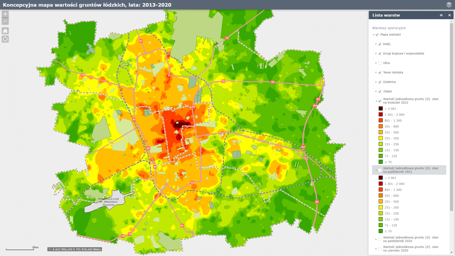
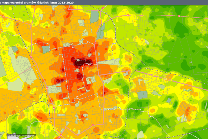
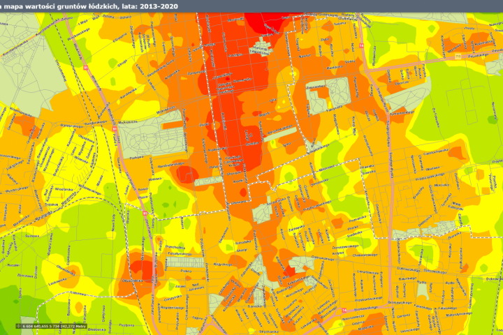
The map was developed by spatial interpolation using the inverse distance method (IDW), which is based on the assumption that the value of the trait under study at a given point is dependent on the value of that trait at the nearest base points.
The study for each year was based on several thousand base points where the variable under study was observed.
The conceptual map of Lodz land values is for illustrative purposes and economic and legal decisions cannot be made on its basis. The level of land value shown on the map does not reflect the value of green areas (forests, parks, cemeteries) and airport land.
Determining the value of real estate belongs to the exclusive competence of real estate appraisers, as stipulated in Article 7 of the Real Estate Management Act.
Conceptual map of Lodz land values


