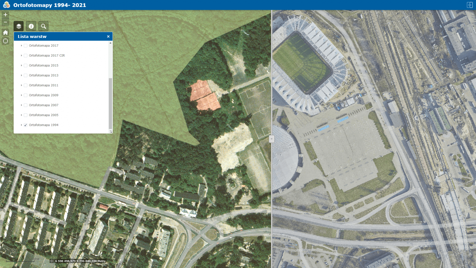
Orthophotomap is a cartometric, photographic image of the terrain resulting from the processing of a set of aerial or satellite photographs into an image, presented in the appropriate mapping, supplemented with verbal information (e.g., names) and symbols (e.g., the symbol of an airplane in an airport area). An orthophotomap edited for display on a monitor screen is sometimes supplemented with layers that… Continue reading Orthophotomaps of Lodz
Author: wordpress-www
Touristic map of Lodz
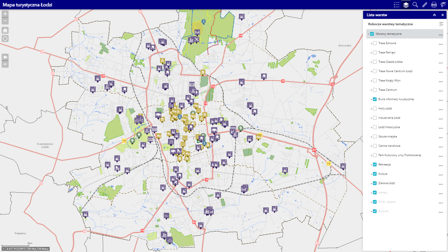
The map shows the most important tourist attractions of Lodz with thematic division into industrial Lodz, historical Lodz and others. The map also presents the delineated area of the cultural park of Piotrkowska Street, which was created to preserve the cultural landscape and the historical character of public spaces, monuments and the urban layout of Piotrkowska… Continue reading Touristic map of Lodz
Historical maps
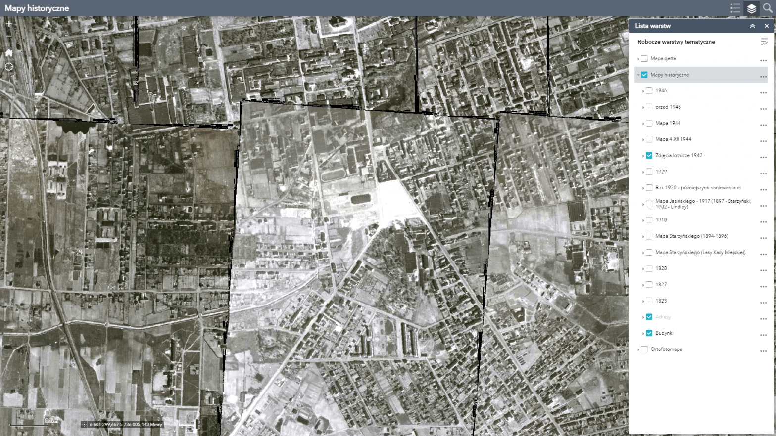
Maps of Lodz from 1823, 1827, 1828, 1910, 1917 (Jasinski), 1929, Litzmannstadt Ghetto 1940-1944, pre-1945, 1946, 1894-1896 (Starzynski) inserted as background of current city map. Published thanks to the cooperation with the State Archives in Lodz. “Plan of the city of Lodz” from 1945 has been added, which actually shows the state from the mid-1920s with later additions.… Continue reading Historical maps
Orthophotomap (TrueOrtho) and oblique images of Łódź
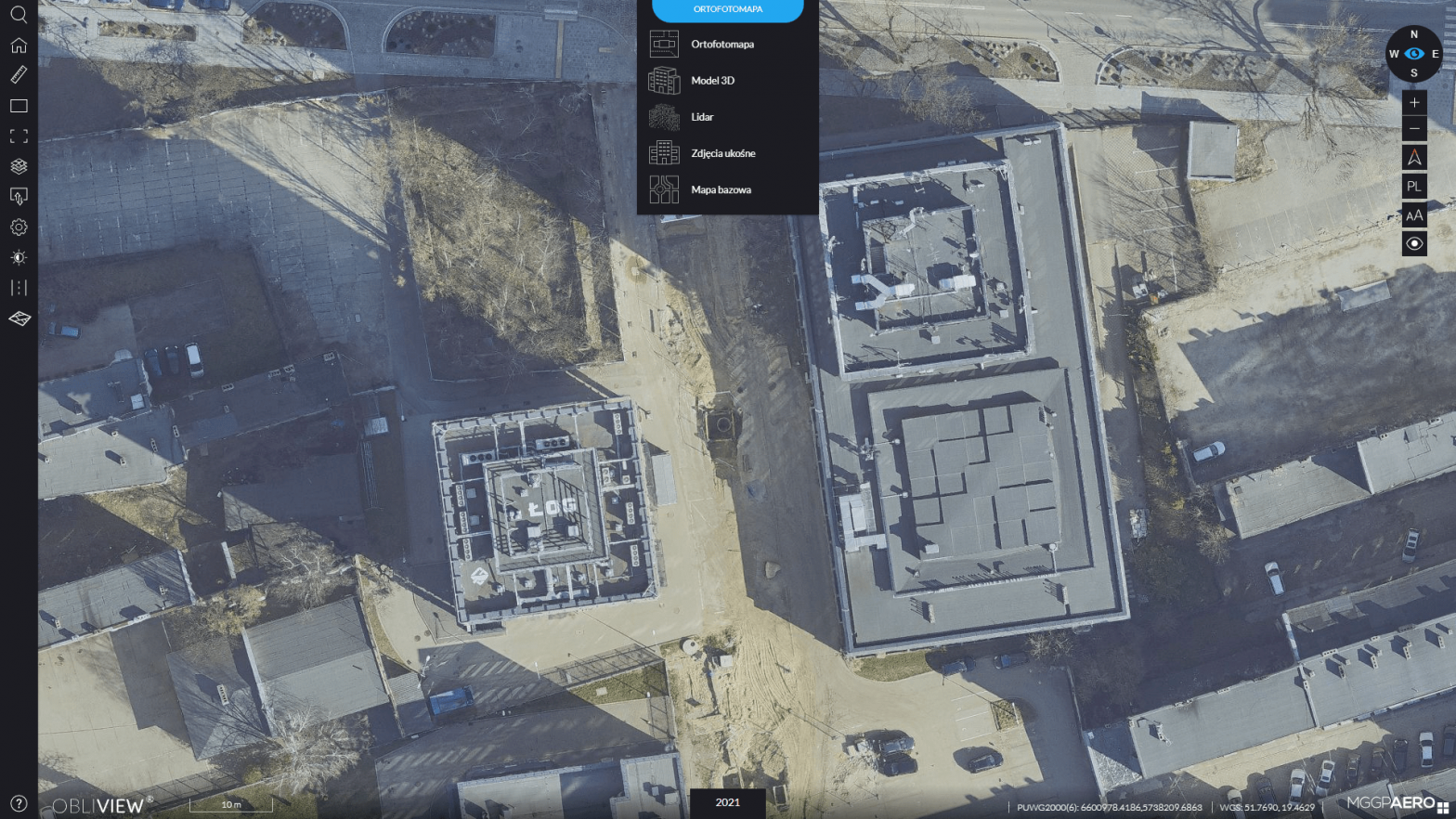
The OBLIVIEW application combines various data acquired through photogrammetric raids and provides, among other things, the ability to view and compare this data, both current and archived. Available in the application are: orthophotos – 2021, 2019, 2017, 2013, 2009, 1989 oblique images – 2021 and 2013 3D city model – 2021 LIDAR data – 2021 and auxiliary… Continue reading Orthophotomap (TrueOrtho) and oblique images of Łódź
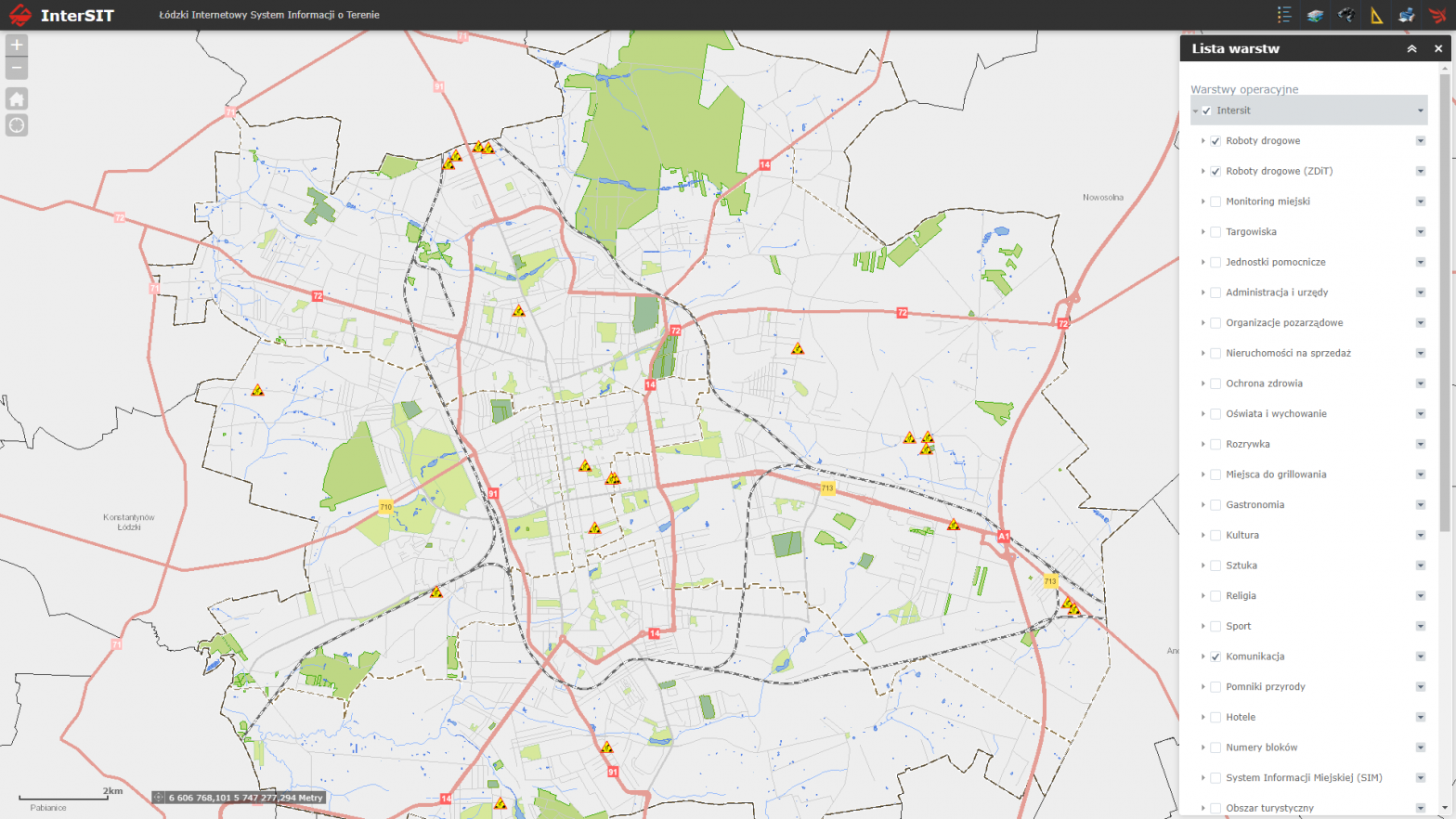
General map of Lodz
Fully up-to-date map of Lodz, which does not require downloading and installing plug-ins and works on mobile devices.

