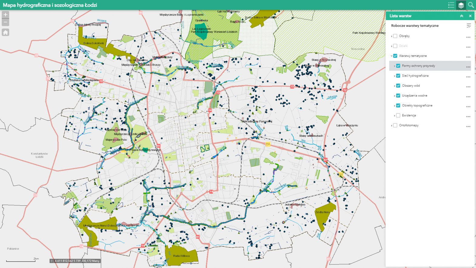
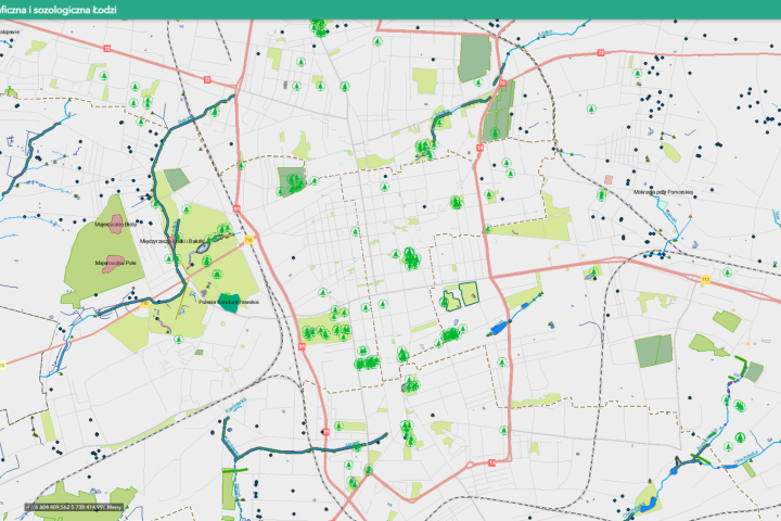
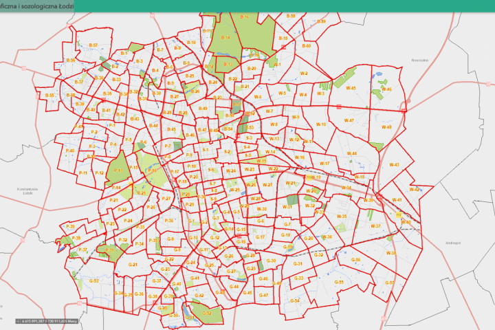
The hydrographic map of Lodz contains detailed information on the course of open sections of the network of watercourses (rivers, canals, and ditches, excluding roadside ditches), location of water occurrence areas (divided into flowing and standing waters, specifying wetlands in the form of permanent and temporary wetlands), and location of topographic objects and water facilities related to surface waters (including hydrotechnical structures, water reservoirs and ponds) in the city of Lodz.
Hydrographic and sozological map of Łódź


