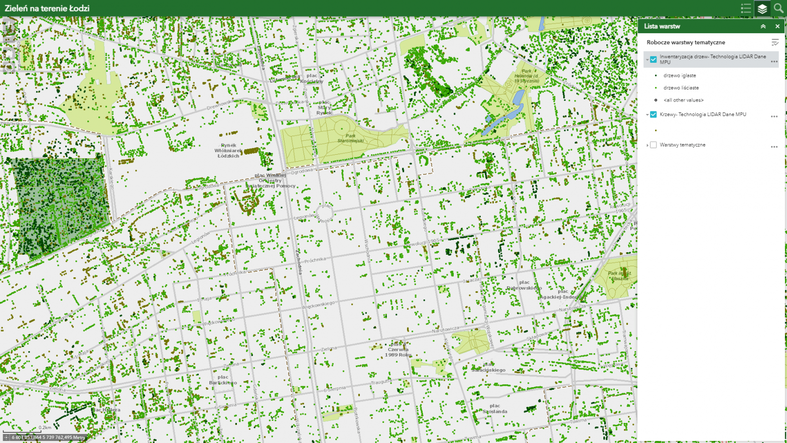
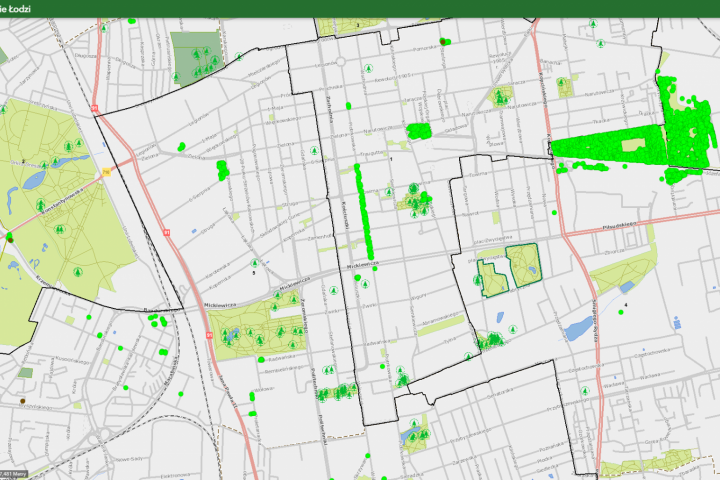
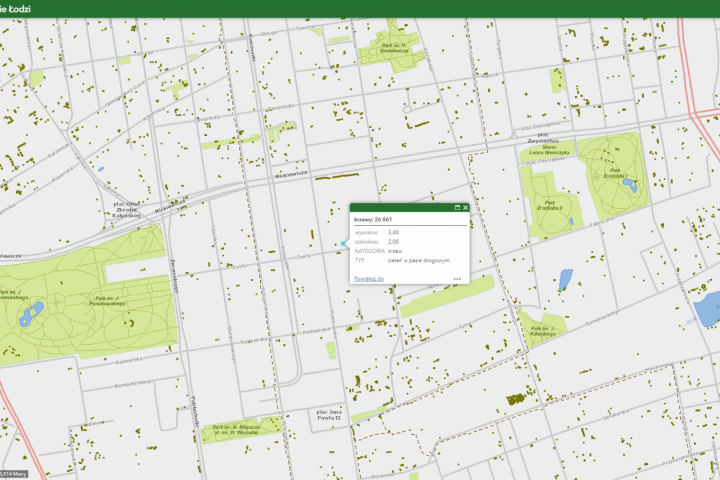
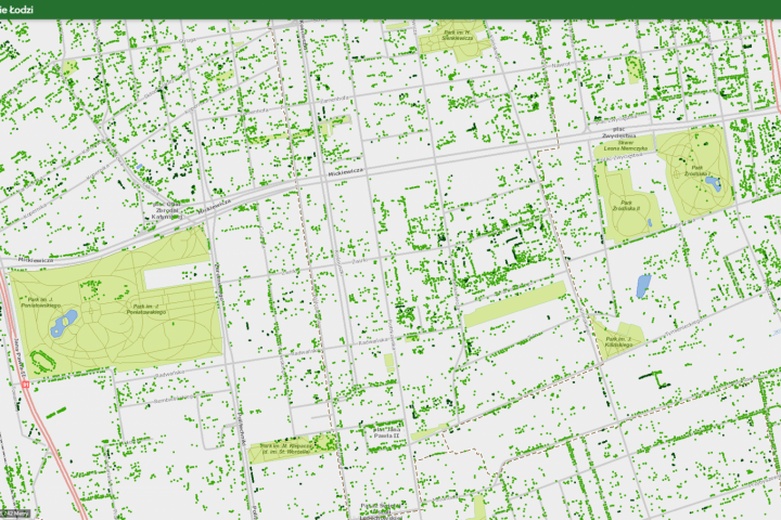
Greenery in Łódź is a map that is the result of the first stage of the City’s work on the inventory of tall greenery located within the administrative boundaries of Łódź. The information collected on the map relates to the number and type of trees and shrubs and has been plotted in the form of points corresponding to individual trees or clusters of shrubs.
After clicking on a given point, a window with information on the species name of a given plant appears. The data plotted on the map comes from the inventory conducted in May 2020.
The inventory of trees in other parts of the city is ongoing, so the map will be updated with further stages by the Environmental Design Department.
Greenery in the area of Lodz


