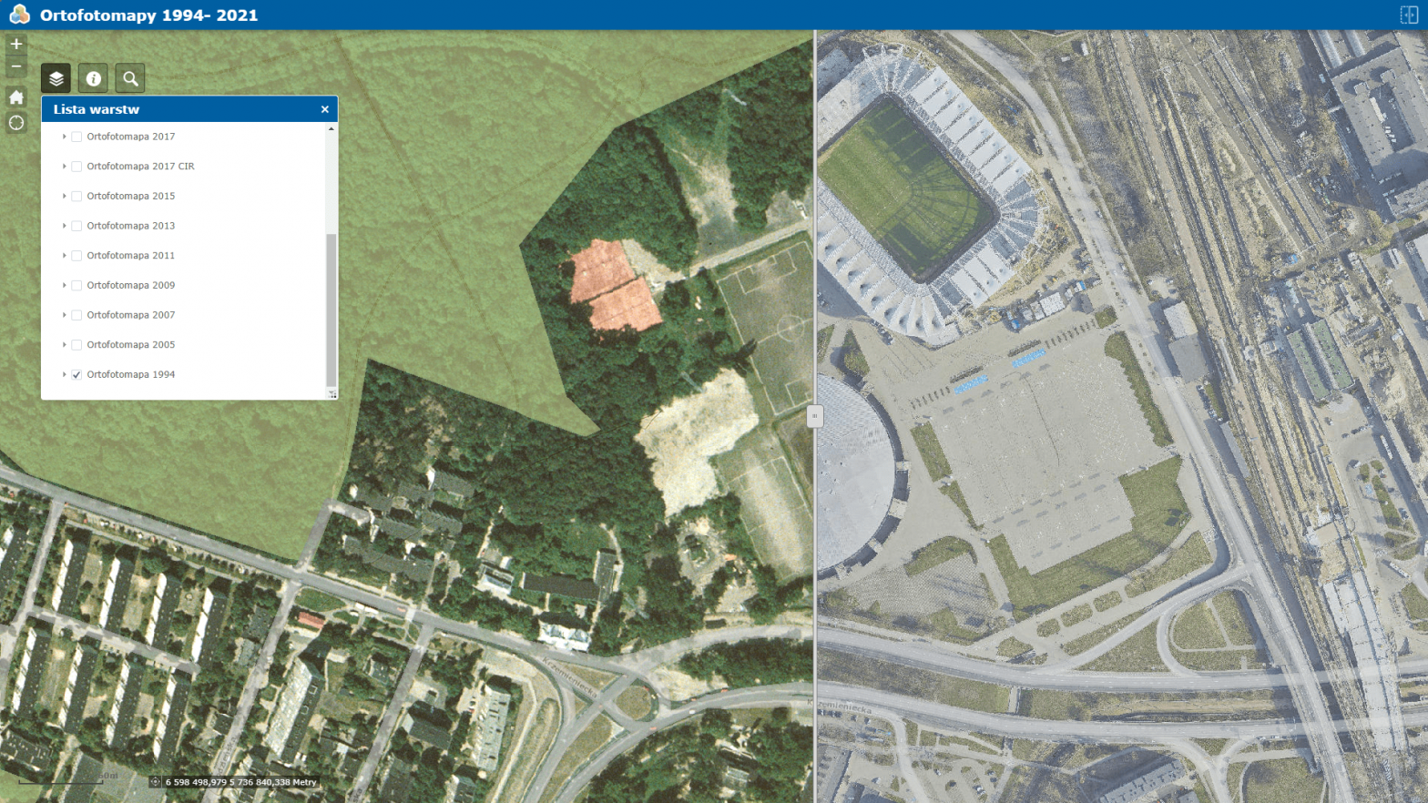
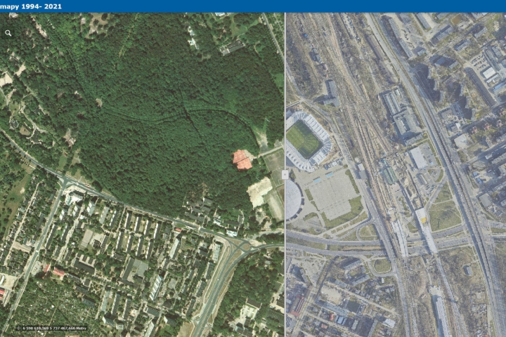
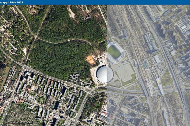
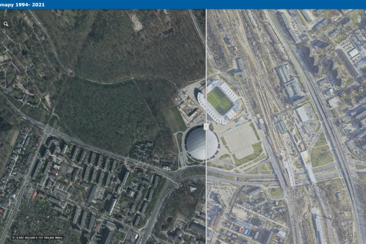
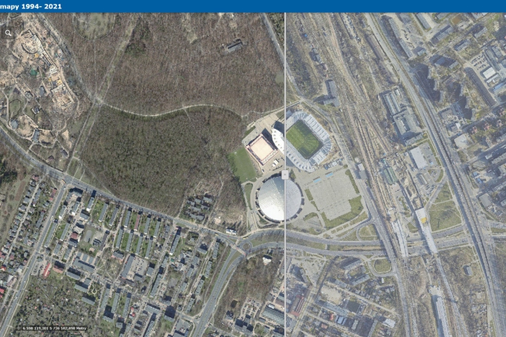
Orthophotomap is a cartometric, photographic image of the terrain resulting from the processing of a set of aerial or satellite photographs into an image, presented in the appropriate mapping, supplemented with verbal information (e.g., names) and symbols (e.g., the symbol of an airplane in an airport area). An orthophotomap edited for display on a monitor screen is sometimes supplemented with layers that highlight certain content while impoverishing information (e.g., overlaying green areas of parks hides their details). These layers can be turned on or off by the user on demand.
Orthophotos available in this application are:
the oldest from 1994 (aerial, pixel 0.5 m),
from 2005. (satellite, pixel of about 1 m),
from 2007. (aerial, pixel 0.2 m),
from April 2009. (aerial, pixel 0.2 m),
April 2011. (aerial, pixel 0.1 m),
May 2013. (aerial, pixel 0.05 m),
from April/May 2015. (aerial, pixel 0.05 m),
April 2017. (RGB and CIR aerial, pixel 0.05 m) – made in the project “Spatial IT services in the revitalized metropolitan zone of the city of Lodz” co-financed by the European Regional Development Fund under the Regional Operational Program of the Lodz Voivodeship for 2014-2020,
April 2019. (RGB and CIR aerial, pixel 0.05 m) – made in the project “Spatial IT services in the revitalized metropolitan zone of the city of Lodz” co-financed by the European Regional Development Fund under the Regional Operational Program of the Lodz Voivodeship for 2014-2020,
and April 2021. (RGB and CIR aerial, pixel 0.05 m) – made in the project “Spatial IT services in the revitalized metropolitan zone of the city of Lodz” co-financed by the European Regional Development Fund under the Regional Operational Program of the Lodz Voivodeship for 2014-2020.
The main application of InterSIT includes the latest orthophotomap and more than 100 layers and rich descriptive databases.

