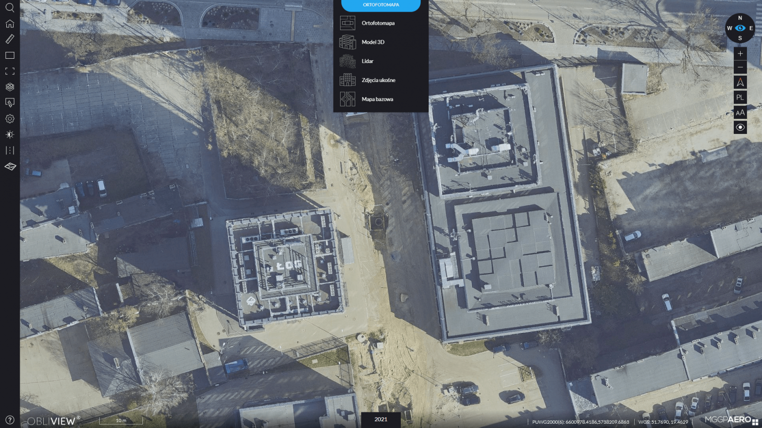
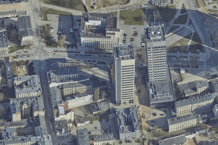
The OBLIVIEW application combines various data acquired through photogrammetric raids and provides, among other things, the ability to view and compare this data, both current and archived.
Available in the application are:
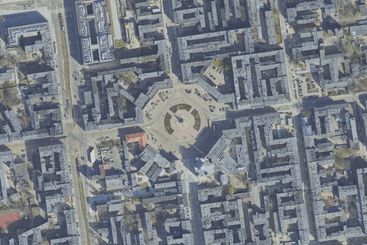
orthophotos – 2021, 2019, 2017, 2013, 2009, 1989
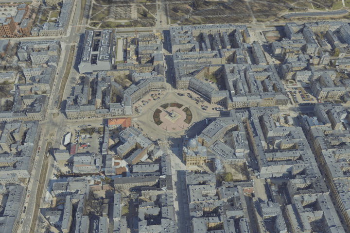
oblique images – 2021 and 2013
3D city model – 2021
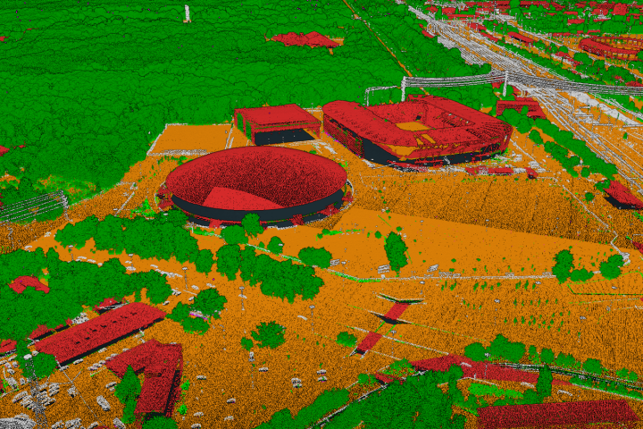
LIDAR data – 2021
and auxiliary layers: street grid, registered plots, base map.
Thanks to the detailed photos and data in the app, it is possible to measure horizontally and vertically, as well as measure the area and even see how much solar potential the roofs of buildings have. The latter functionality is made possible by analyzing the shading and insolation of objects.
The OBLIVEW application and photogrammetric data from 2017, 2019 and 2021 were provided as part of the project “Spatial IT services in the revitalized metropolitan zone of the city of Lodz,” co-financed by the European Regional Development Fund under the Regional Operational Program of the Lodz Voivodeship for 2014-2020.

